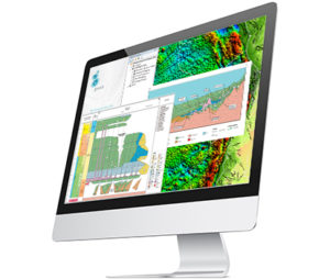
Our total support package for Guatemala provides insights into the region in preparation for petroleum exploration and production activities.
The package comprises gravity, magnetic and seismic data compilations, Globe, Regional Reports, GIS productivity extensions to ArcGIS, and support & training from experienced geoscientists, geophysicists and geospatial experts.
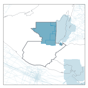
Gravity Products
- Includes a compilation of onshore gravity surveys and our proprietary Multi-Sat data offshore
- Topography and bathymetry compilation enabling reduction to Bouguer and isostatic residual anomaly
- Advanced grid derivatives and transforms
- Complete coverage over offshore areas
- Full country or sub-area packages
Magnetic Products
- Compilation of numerous reprocessed surveys
- Reduction-to-pole and advanced processing
- Depth to basement/sediment thickness from integrated G&M approach constrained by independent data
- Full country or sub-area packages
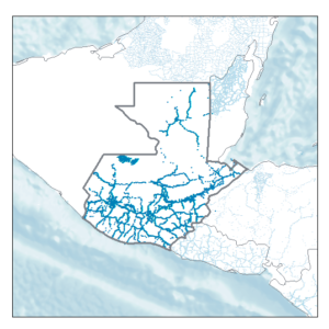
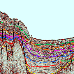
Seismic Products
- Scanned and vectorised 2D seismic data
- Delivered in SEG-Y format with navigation files
- Well data also available with various composite logs in LAS format
- Sample data available for review
Further Insight
Our Regional Reports provide market-leading insight into the geological evolution and potential hydrocarbon prospectivity of specific hydrocarbon basins, under-explored areas and frontier regions
- Tectonic Evolution of Mexico
- Seismic and well package
- Bespoke interpretation services
Click to visit all the Regional Reports
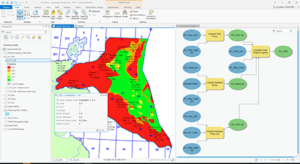
GIS Approach
- Make better exploration decisions by assessing basin and play prospectivity with our Exploration Analyst software
- Easily transfer data between ArcGIS and E&P interpretation systems with our Data Assistant software
- Learn to use ArcGIS using petroleum data and workflows
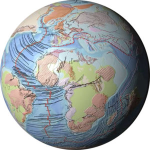
Globe
- Understand how the evolution of the planet has controlled the location of natural resources, so you can find them today
- Globe is a geoscience knowledge-base that reaches back through three hundred million years to provide the evidence that modern day exploration decisions need
- Interrogate a fully validated plate model
- Explore high resolution structures with activation histories
- Traverse 59 consecutive time-slices over 300 million years
The Right Support
- Geoscience Services that provide a combination of specialist upstream oil and gas expertise, a breadth of industry-specific geoscience technical knowledge and an in-depth understanding of modern exploration workflows
- Government Advisory Services to design, manage and support government petroleum activities for countries all over the world
- Geospatial Services that provide petroleum-focussed expertise on Esri’s industry-leading ArcGIS platform